Products

GIS ENGINEERING


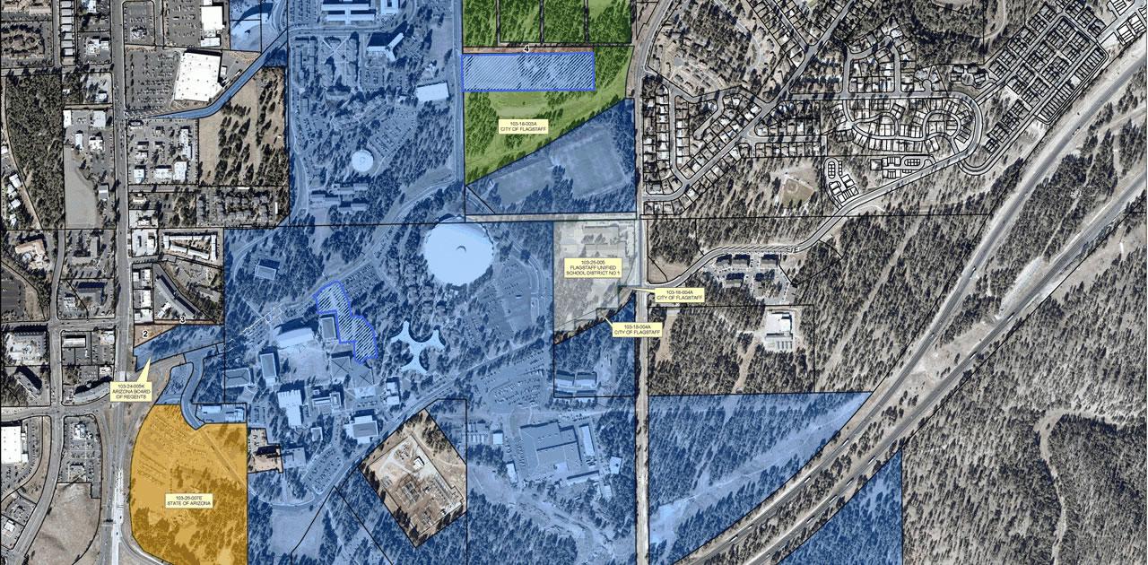
THE MOST RELIABLE & PERFECT SOLUTIONS

We are solution partner with Geomatics Group for all your GIS Engineering needs

Geomatics Group is a technology company that is established in 1996 and has realised these business during the operating period :
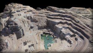
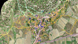
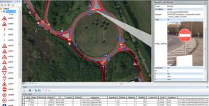
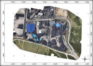
  • Technologies oF GPS/GNSS satellite positioning,
  • Product of geographical information system,
  • Total Sitation measuring instruments,
  • Laser scanner of topographic and mobile,
  • GBS intelligent data acquisition device on mobile vehicle
  • Servicing of sales and service and engineering projects
  • Activities of geographical information system


OUR INNOVATIONS

Industry Focused Products!


  • Orthophoto Mapping, 3D Land & Building Modelling with Mapping Camera on the Multicopter
  • GIS, Mapping, Modelling with Mobile & Handheld Scanner with laser point cloud
  • Plan View Drawings
  • Building Information Management (BIM) Integration
  • As-built Documentation
  • Restoration
  • Local government: asset inventory and management,city models
  • Mining: construction, monitoring
  • Oil and Gas: site monitoring, asset tracking, change detection
  • Utilities: electrical, pipelines
  • Large scale mapping
  • Roads: condition surveys, visualization, maintenance
  • 360 degree panaromic imaging


  • Geographic Information Systems
  • Municipality Information System
  • Cemetery Information System Utility,
  • Electricity Distribution,
  • Water Distribution,
  • Natural Gas Distribution,
  • Telecommunication,
  • Land Management Systems


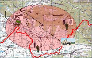
SOLDIER AND VEHICLE TRACKING SYSTEM


  • Handheld GPS with military application
  • Handheld radio
  • Vehicle radio
  • Command Control Center

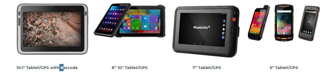
INDUSTRIAL TABLET AND GPS DEVICES

  • Operations on the map base in the field
  • Visual and digital data collection from the field
  • Unity and soldier tracking, instant messaging
  • Helicopter obstacle warning system
  • Loading private and hidden base maps